Portal news
The Zarocer blog is now live
Explore the new home for original game guides and practical browser gaming tips.
October 8, 2026 · ZarocerRead story
Explore Atlas Sprint’s October 10 catalog release: 93 selectable countries, continent practice, map controls and a 12-country daily challenge.
By Zarocer · October 11, 2026 · 7 min read
Atlas Sprint is recorded as published in Zarocer's catalog on October 10, 2026, with reviewed version 1.0.0. Its central task is to read a country name and select the matching outline on a world map. This report covers the available build, including practice and its dated daily challenge. It does not announce a future map expansion, an online tournament or changes to the portal's English URL architecture.
The game uses a curated set of ninety-three selectable countries. That scope matters: the map is a game interface, not a claim to contain every political unit or to resolve questions about boundaries. The useful playing task is to find the named country among the selectable regions provided by the build. Position, coastline, relative size and neighboring shapes can all help you read the board before committing to an answer.
Correct answers earn one hundred points. When an answer is wrong, the game reveals the country so the player can see the location that was requested. The feedback therefore connects a name with an actual place on the map, rather than displaying an error without showing what the player missed. Review that highlight before moving on; it is part of the available information in the session.
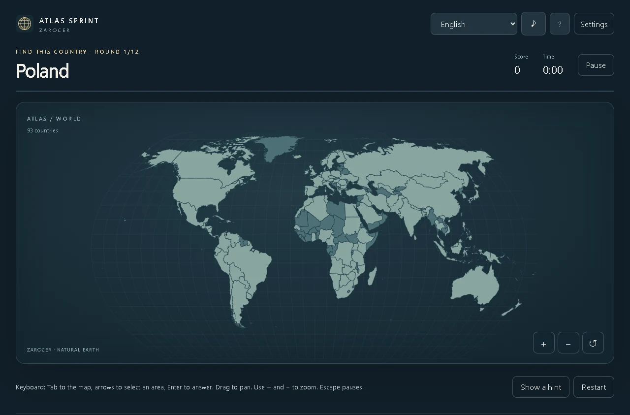
The screenshot accompanying this report shows the world map and a prompt for Poland during a twelve-country challenge. It establishes what the interaction looks like in the reviewed English build. It does not imply that Poland is always the first country or that the pictured session represents every daily selection. A dated challenge changes its selected task according to the game's rules, so a screenshot should be read as one visible state rather than a fixed answer sequence.
Daily mode asks for twelve countries, provides three lives and allows three minutes. The same selection is used during each UTC day. These constraints make the mode a bounded session rather than an open-ended map exercise. The time and lives shown in the interface are part of the task, so a player should understand them before assuming that opening a menu provides unlimited time to inspect the next country.
In this build, pausing does not stop the daily clock. That detail is easy to miss if you have played games whose pause button freezes every timer. It belongs in an accurate release report because it affects how a player interprets a break during a timed attempt. Use untimed practice when you want to study the map without that pressure, instead of expecting daily mode to behave like a different game's pause system.
Practice lets players explore the world or choose a continent without a time limit. This gives the map a different purpose: you can take time to inspect neighboring regions and become familiar with the visible selection area. It is not simply daily mode with an unlimited number of lives. Choose the mode according to whether you want a timed attempt or a slower geography session.
Focusing on one continent can reduce the amount of unfamiliar information you are comparing at once. Find a large, recognizable country, then use nearby coastlines and adjacent regions to orient yourself. This is an ordinary observation technique, not a guarantee of learning outcomes or an official geography curriculum. The game provides a practical setting for looking at names and outlines; the player's own purpose determines how slowly to work through them.
The available controls include dragging to pan and zoom buttons for smaller countries. This matters because a world map compresses small outlines into limited screen space. If a region is difficult to distinguish, change the view before answering rather than repeatedly clicking around it and assuming the game will interpret your intention. The map's visible scale is part of the interaction.
The included capture shows plus, minus and reset controls below the map area. Use those visible tools to return to a manageable view after moving around a region. A zoomed view is a way to inspect and select the same map, not a separate difficulty or a different country collection. On a phone, careful zooming can also help distinguish small adjacent outlines, but the precise usable area depends on the device and browser.
The reviewed instructions describe using Tab to reach the map, arrow keys to choose an area and Enter to answer. Pointer and touch users select the outline directly. These input methods approach the same country-selection task differently. Read the native interface when switching from one to another, particularly if the current focus is on a menu rather than on the map itself.
Do not treat a keyboard-supported map as proof that every assistive setup has been certified. The confirmed feature is the documented input route in the published build. Likewise, the existence of touchscreen controls does not establish native installation on every mobile platform. The game page provides the place to check controls and supported devices; browser play, accessibility certification and operating-system PWA installation are separate topics.
Atlas Sprint includes eleven interface languages and translated country names inside the same build. That lets players read prompts in a supported language without creating a new public game URL. The published page on Zarocer remains part of the English portal. This release report does not create language equivalents for the sitemap or imply that the whole site has eleven editorial versions.
Changing the prompt language can change how familiar a country name looks, but the task still concerns the same outline. It should not be described as a new country dataset, a new game ID or a separate daily competition. Keeping the scope precise helps players understand what the language selector does while preserving the difference between a multilingual game interface and a multilingual website architecture.
The published description includes hints and the ability to continue a saved journey on the same device. Practice results, hinted runs and restored sessions remain local records. This means helpful tools can preserve a useful session without being presented as an unassisted competitive submission. A shared daily selection is not sufficient evidence that portal-wide rankings are active or that every result is transmitted to a public service.
Local continuation depends on browser storage and the domain where the game was opened. If you switch browsers or clear site data, the same progress may not be available. A favorite links back to the page but does not back up the internal journey. This article does not announce cloud synchronization, account migration or a change to historical saves. It describes the native behavior established for the available build.
Flag Quiz uses a flag image and four country-name choices. Atlas Sprint uses a country name and a selectable map. The former emphasizes recognizing a design; the latter emphasizes location and outline. A player who recognizes a flag immediately may still need time to find its country. Conversely, recognizing a coastline does not identify the arrangement of colors on a flag.
The two games therefore provide related but distinct experiences within the catalog. Try Flag Quiz when you want to compare colors and patterns. Choose Atlas Sprint when you want to read the shape and relative position of countries. This is a recommendation based on the actual mechanics, not a claim that one title is objectively more educational or that one category should replace another because the games share a geography theme.
Open Atlas Sprint and start with practice if you want time to learn its map interaction. Inspect zoom, pan and the feedback after an answer before trying the twelve-country daily challenge. Once you choose daily play, remember the three-minute limit and the fact that pause does not stop that clock. Those details provide a clearer first session than discovering the timing rule after several questions.
The available release confirms ninety-three selectable countries, continent practice, timed daily play, feedback, eleven languages and local records. It does not announce new public rankings, cloud progress or future features. The catalog date remains October 10, while this editorial report documents the release for readers reviewing it afterward. Follow the current game page for version information before interpreting a later change as part of this initial catalog report.
Explore the new home for original game guides and practical browser gaming tips.
October 8, 2026 · ZarocerRead story
Two-column mobile category grids, a visual category directory and answers to common playing questions.
October 8, 2026 · ZarocerRead story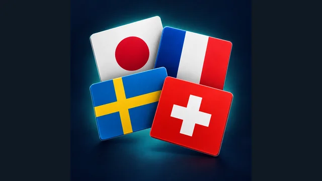
Flag Quiz’s October 10 catalog release brings 20-question rounds, 30 flags, missed-answer review and a UTC daily challenge. Explore the available build.
October 11, 2026 · ZarocerRead story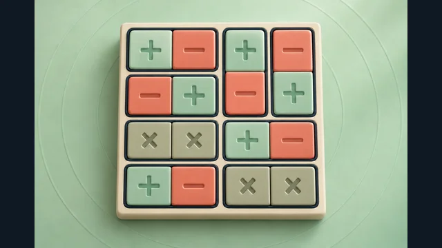
Magnets Puzzle’s October 10 catalog release combines paired poles, exact row and column clues, progressive campaign boards and a UTC daily puzzle.
October 11, 2026 · ZarocerRead story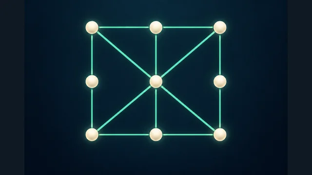
Untangle Puzzle’s October 10 release offers 24 Journey stages, a daily network and a 90-second mode. See the real English board and available controls.
October 11, 2026 · ZarocerRead story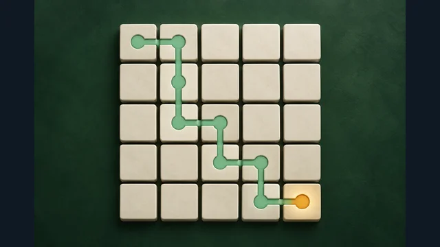
Number Ladder’s October 10 catalog release brings checkpoint paths, a 12-level Journey, practice sizes and a shared daily 5 × 5 board.
October 11, 2026 · ZarocerRead story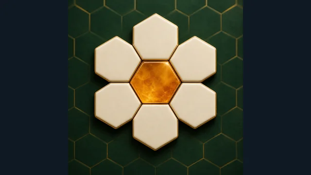
Zarocer’s October 12 release adds Letter Hive, Word Quartets, Sentence Building and Typing Speed Race. Explore their distinct modes and launch limits.
October 12, 2026 · ZarocerRead story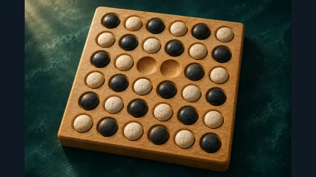
Kōnane, Surakarta and Game of the Goose are now in Zarocer’s catalog. Compare movement systems, same-device play and the two Beta releases.
October 12, 2026 · ZarocerRead story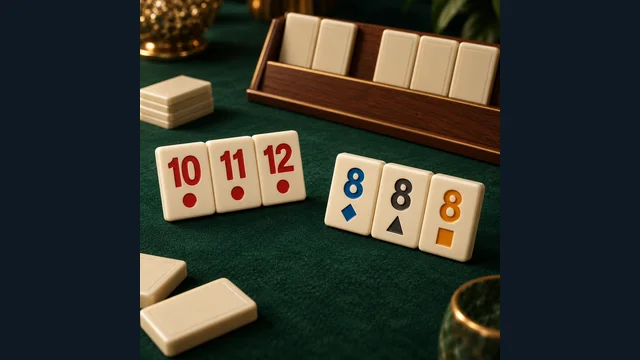
Tile Rummy 1.2.0 is live on Zarocer. Read the current variant, daily deal and reported old-save compatibility without changing the established game URL.
October 12, 2026 · ZarocerRead story